Takamaka Waterfall
Takamaka Waterfall
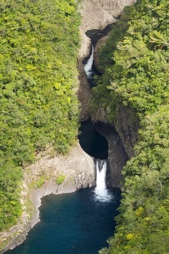
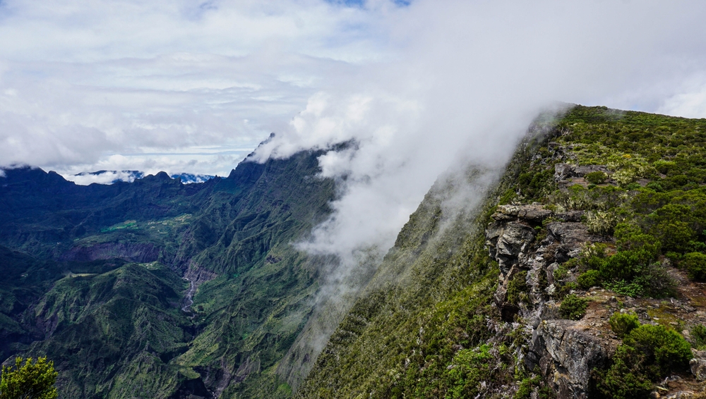
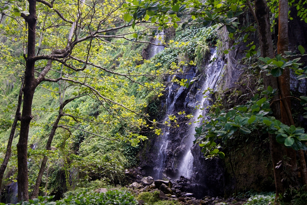
Takamaka Waterfall plunges into the gorges of the Marsouins River, deep within the humid tropical forest of Saint-Benoît. A wild panorama accessible from a developed viewpoint on the eastern slope of Réunion.
Takamaka Waterfall cascades into the gorges of the Marsouins River, nestled in the humid tropical forest of Saint-Benoît on the eastern slope of Réunion. Accessible from the Takamaka viewpoint, it offers a breathtaking panorama over an enclosed valley blanketed in dense vegetation. This is one of the island's most spectacular natural sites, particularly impressive after heavy rainfall.
Practical Information at a Glance
- Access: Takamaka road from Saint-Benoît, accessible by car to the viewpoint
- Admission: free at the viewpoint
- Recommended duration: 30 to 60 minutes for the view from the viewpoint
- Attire: closed-toe shoes recommended if you venture onto nearby trails
- Note: the road may close after heavy rain or cyclones — check conditions before heading out
What You'll See
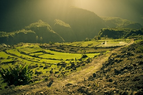
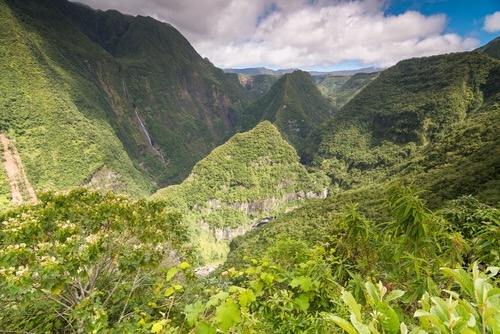
From the viewpoint, the waterfall plunges into a verdant canyon carved by the Marsouins River. The rock walls are covered with tree ferns, screw pines and casuarinas. On clear days, multiple cascades are visible at once. Permanent mist sustains lush vegetation that contrasts starkly with the dark cliffsides.
History and Context
The Takamaka valley takes its name from the takamaka tree (Calophyllum inophyllum), found throughout the region. The eastern slope of Réunion, known as the "windward coast," receives the island's highest rainfall. This exceptional precipitation continuously feeds the Marsouins River and its tributaries, giving the waterfall its powerful flow.
Highlights of Your Visit
The Main Viewpoint
Fitted with safety railings, it offers the most direct view of the waterfall and gorge. This is the prime observation point, accessible without particular physical exertion from the parking area.
The Takamaka Road
The drive itself is an experience: the road winds through tropical forest, skirting ravines and crossing zones often shrouded in low clouds. Several scenic stops punctuate the journey.
The Marsouins River
Below, the river carves pools into basalt. Certain trails allow you to approach it, but access conditions vary with water levels — inquire locally before attempting any descent.
Photography Tips
Morning light, before clouds accumulate on the eastern slope, provides the best conditions. A wide-angle lens captures both the waterfall and gorge walls in one frame. In overcast conditions, vegetation stands out with saturated greens. Avoid heavy rain periods: visibility in the valley drops rapidly.
Location and Access
Takamaka Viewpoint lies about twenty kilometres southwest of central Saint-Benoît, heading up the Marsouins River valley. The road is paved but narrow and winding. No regular public transport serves this location — a personal vehicle or rental car is necessary. Accessibility for mobility-impaired visitors is limited to the developed viewpoint; surrounding trails are not adapted.
Nearby
- Plaine des Palmistes — high-altitude plateau accessible from Saint-Benoît, gateway to the volcano.
- Bélouve Forest — tamarind forest of the highlands, with marked trails and eastern coastal views.
- Grand Étang — natural lake surrounded by tropical forest, minutes from Saint-Benoît.
- Saint-Benoît — main town on the eastern slope, logistics hub for exploring the region.
Frequently asked questions
The southern dry season (May to November) offers more passable roads and better visibility. During the rainy season (December to April), the waterfall flows more powerfully but the road may close after heavy rainfall.
No. The main viewpoint is accessible from the parking area in minutes via a developed path. Trails descending to the river, however, require good fitness and proper footwear.
Direct access to the waterfall's base is difficult and potentially dangerous due to flash floods. Consult local authorities or a guide before attempting any descent to the river.
No. The Takamaka road is regularly closed after heavy rain or during cyclone season. Check with Réunion's prefecture or Saint-Benoît's town hall before departing.
Yes. Grand Étang and Bélouve Forest are in the same area and easily visited in a single day from Saint-Benoît.
Yes, without restriction from the public viewpoint. No photography-restricted zones are marked at this natural site.
Interested in this visit?
We can include it in your personalised itinerary.