Cirque Mafate
Cirque Mafate
A wild cirque without roads, Mafate is crossed on foot from guesthouse to guesthouse. History, trails, inhabited hamlets and insider advice to prepare your trek.
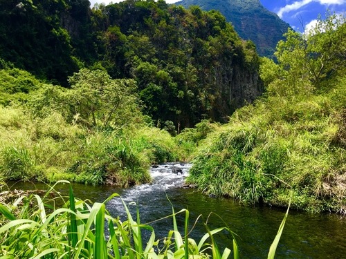
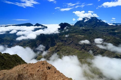
The Cirque de Mafate prides itself on being the wildest of the island's three cirques. Spanning 95 km², this site is inaccessible by road, forcing visitors to traverse mountain trails to reach it. Once there, you'll find yourself face to face with untamed nature, composed of forests, peaks, and deep ravines.
History
The formation of Cirque de Mafate resulted from collapses of the Piton des Neiges massif followed by significant erosion. The site was named after a Malagasy slave who reportedly took refuge there to escape colonial settlers. Mafate derives from the Malagasy word mahafaty, meaning "the one who kills". The cirque remains to this day a symbol of slavery in Réunion.
Toward the end of the 18th century, Cirque de Mafate saw the arrival of several families of colonists and other Réunionnese communities called "yab des hauts" or "Poor Whites of the highlands". Deprived of fertile land due to succession laws, the abolition of slavery, and demographic growth, many impoverished Whites gradually settled in the highlands and even within the cirques of Réunion.
During colonization, concessions were granted to certain families. Those who received none nonetheless established themselves in Cirque de Mafate, hoping to be safe from potential reprisals due to the site's inaccessibility.
In 1784, the Forestry Service of Réunion Island considered evicting the cirque's occupants to promote reforestation. It was then forbidden to burn a branch, under penalty of having one's dwelling destroyed or being assigned to the construction work at Port Pointe des Galets. Discontented, the Mafatais successfully drove out the foresters after years of hardship.
By the mid-20th century, a shift in the island authorities' attitude offered new development prospects for the cirque's inhabitants. Modernity took root gradually from the 1980s onward. Rural exodus slowed with the rise of tourism.
Today
With its forbidding relief, Cirque de Mafate can only be reached on foot or by helicopter. No road services the site, although a project to develop road access was once studied but came to nothing. The cirque's geography and terrain are simply spectacular. The landscape is shaped by deep ravines, imposing cliffs, sharp peaks, and vertiginous summits.
Located in the west-central part of Réunion Island, Mafate is administered by the municipalities of La Possession and Saint-Paul. Its entire area, approximately 100 km², is inscribed in Unesco World Heritage, while forming the heart of the Parc National de La Réunion. Gros Morne, rising to 3,019 m elevation, constitutes the cirque's highest point. It is the island's second-highest summit, after Piton des Neiges. Moreover, several rivers cross Cirque de Mafate, including Bras des Merles, Bras Détour, and Rivière des Galets. The region is home to nine main hamlets: La Nouvelle, Marla, Aurère, Ilet à Malheur, Ilet à Bourse, Grand Place, Ilet des Orangers, Ilet des Lataniers, and Roche Plate. Each offers accommodation options, various shops, a school, and a church.
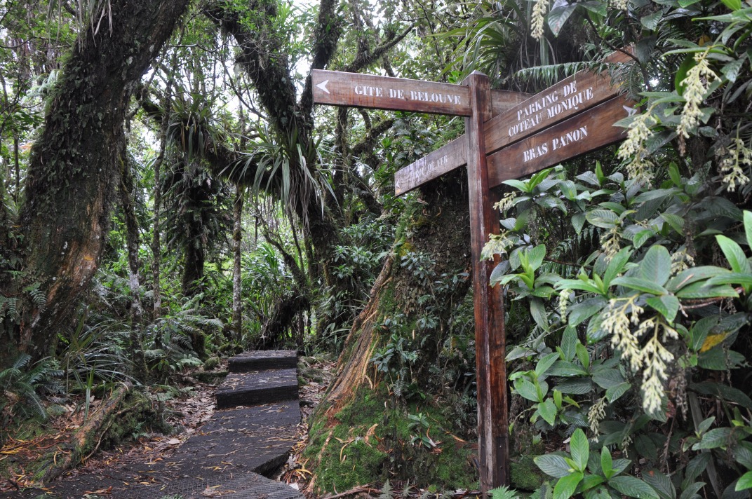
The cirque's history and isolation make it a prime destination not only for trekkers but for all those passionate about untamed nature. The area comprises no fewer than 150 km of trails providing access to the cirque while connecting the various hamlets. Some paths lead to hidden treasures deep within the site, in ravines or below a cliff face. Treks in Cirque de Mafate are quite challenging, with significant elevation changes and sometimes very technical terrain. The best way to discover the site is to plan your route over two or three days, with stops at guesthouses in the hamlets. It's important to book your accommodation in advance. Keep an eye on the weather too, as heat and rain can affect the difficulty of the trails.
Climate
The best time to visit Réunion is the dry season, from May to November, during which coastal temperatures range between 18 °C and 26 °C. The rainy season, extending from November to April, should be avoided as precipitation is very abundant. Cyclones are also expected during this period.
An extensive network of hiking trails provides access to Cirque de Mafate, which has no roads. Hiking can begin from Rivière des Galets, Col des Bœufs in Salazie, Maïdo, Taïbit in Cilaos, or Dos-d'âne.
There's no getting around it—you must walk to discover Mafate. Plan accordingly with proper hiking boots, a walking pole, a hat, and water bottles to fully enjoy the adventure.
What to do in Cirque de Mafate?
- Escape into untamed nature
- Relax at the hot springs located in the Rivière-des-Galets basin
- Climb Gros Morne
- Recharge your spirit in the hamlets, etc.
Want to discover this destination?
Our local advisors design your tailor-made trip.